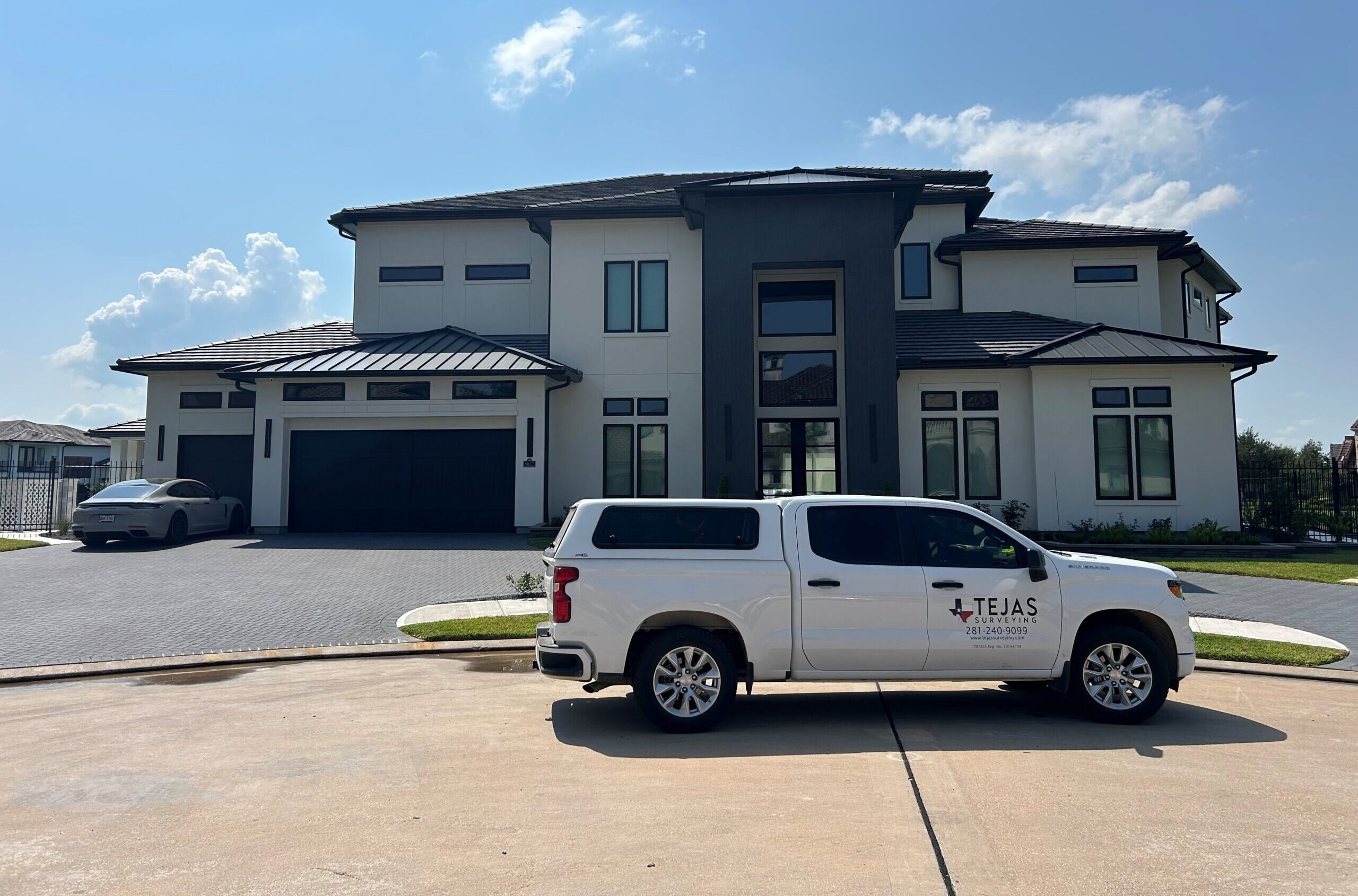
As-Built Surveys
Project Overview
At Pedraza Surveying, we were tasked with executing an advanced aerial survey project utilizing both photogrammetry and LiDAR technologies. The project site encompassed a wide, varied terrain that required both speed and precision. By deploying drone-based mapping solutions, we were able to gather accurate spatial data without disrupting ground operations. This project was essential for the client’s planning and development strategy, and our team delivered timely, high-resolution datasets that supported critical design decisions.
Approach and Methodology
For this project, our licensed UAV pilots deployed drones equipped with high-definition cameras and state-of-the-art LiDAR sensors. Prior to flight operations, ground control points were carefully established and calibrated to ensure data accuracy. The site was flown in multiple passes, allowing us to collect dense point clouds and high-resolution aerial imagery, which were later processed using specialized software such as Pix4D and Global Mapper. The resulting outputs included orthomosaic maps, digital elevation models (DEMs), and classified LiDAR point clouds—all precisely georeferenced to meet engineering-grade standards.
Project Outcomes
The aerial survey significantly reduced the time and resources required compared to traditional ground surveying. Within a short turnaround window, we were able to deliver comprehensive datasets that revealed both surface and terrain features with exceptional clarity. The LiDAR data allowed the client to analyze vegetation, structures, and elevation changes, aiding in early-phase design and feasibility studies. Our deliverables were seamlessly integrated into the client’s existing CAD and GIS workflows, enabling faster approvals and more informed decision-making across departments.
Impact and Value Delivered
This project not only demonstrated the power of drone-based surveying but also highlighted our ability to adapt modern technologies to the specific needs of each client. By combining photogrammetry and LiDAR, we offered a multi-layered view of the site that traditional methods simply couldn’t match in efficiency or detail. The result was a scalable, high-accuracy solution that added real value to the client’s operations and provided a strong foundation for future development.
Let’s Talk About Your Next Project
If you’re looking for precise, reliable, and efficient aerial mapping services, we’re ready to help. Our experienced team brings a mix of cutting-edge technology and deep surveying expertise to every project. Reach out to us today to schedule a consultation or request a customized quote.