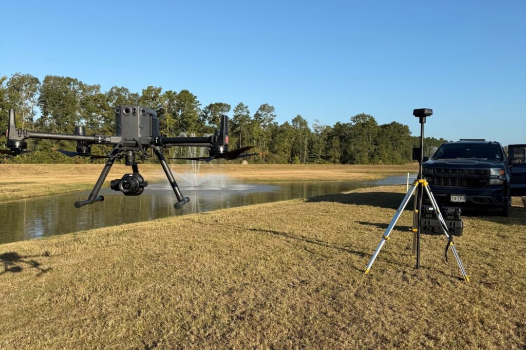
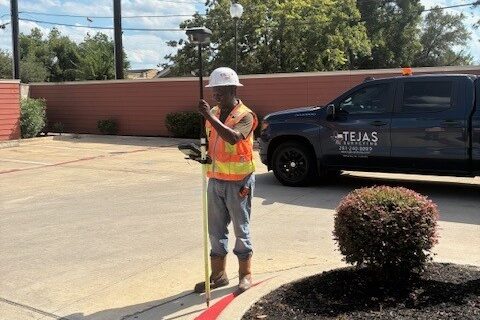
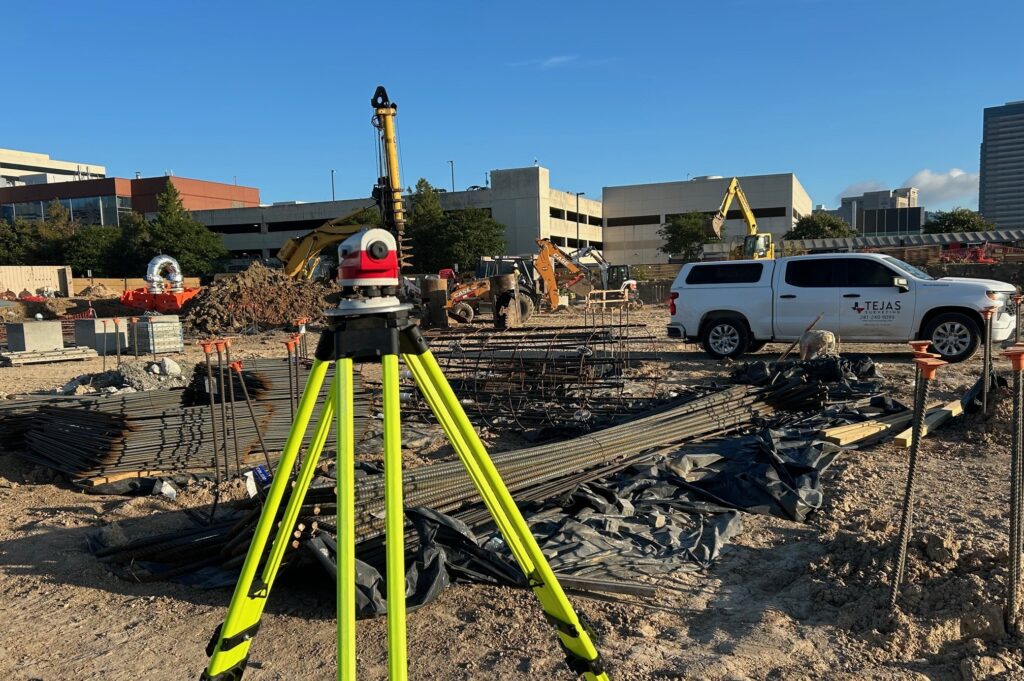
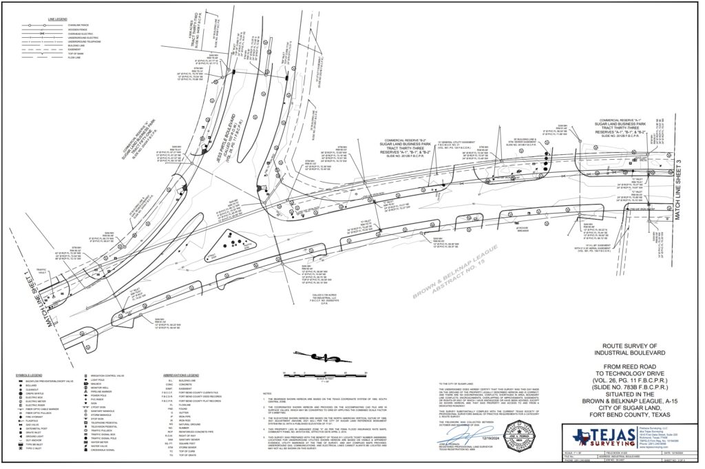
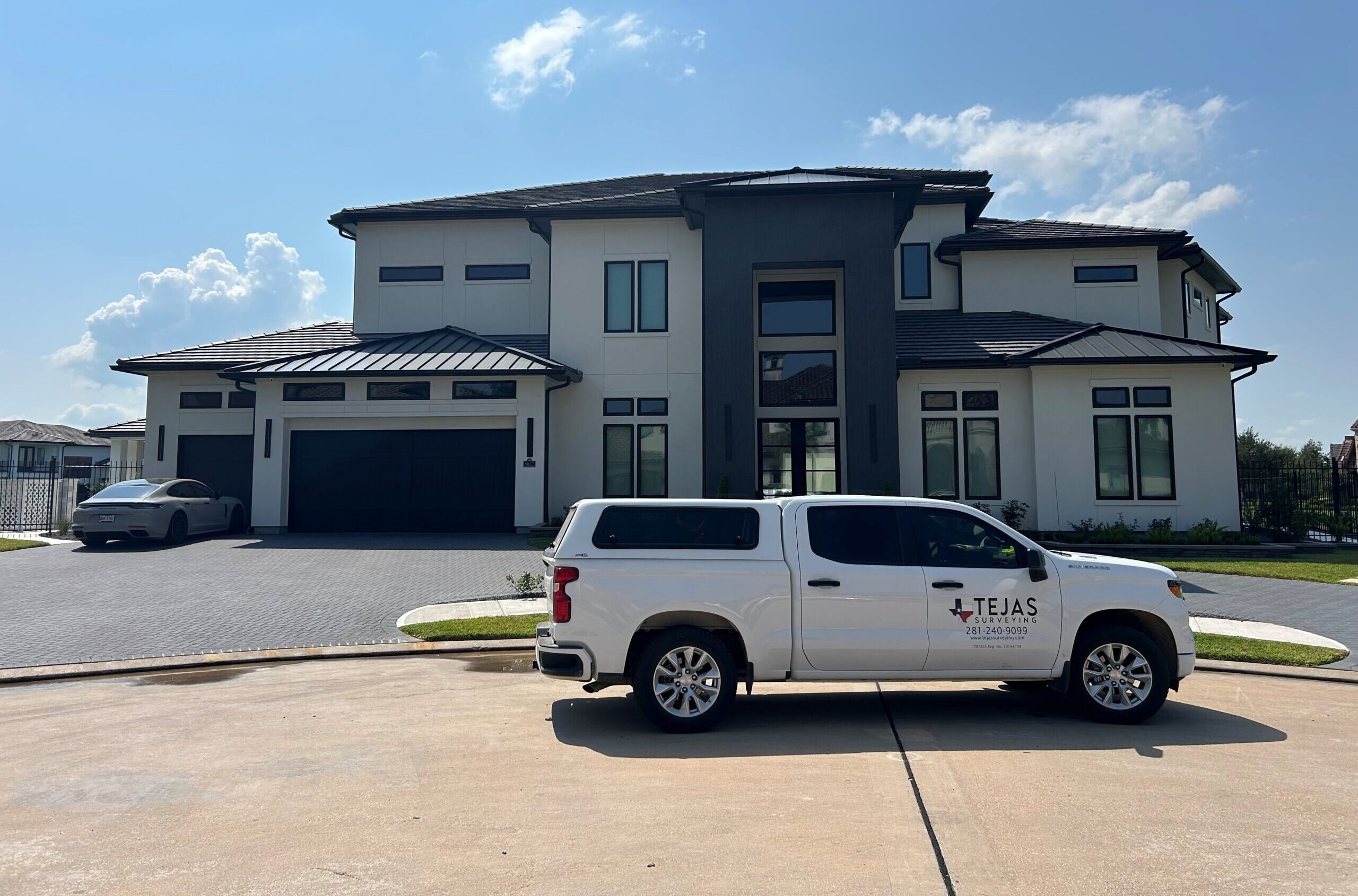
Our Services We provide a full range of surveying services to meet the needs of property owners, developers, engineers, and public agencies. Our crews are trained, equipped, and ready to deliver results—fast and accurate. Aerial Photogrammetry and LiDAR ALTA/NSPS Land Title Surveys As-Built Surveys Boundary Surveys Construction Staking Control Surveys Elevation Certificates FEMA LOMR Metes and Bounds Descriptions Right-of-Way Mapping Route Surveys Subdivision Platting Subdivision Replatting Topographic Surveys TSPS Land Title Surveys